
Tideline School in Portland, Maine, runs a five-day sea kayaking journey on Casco Bay for its tenth-grade summer program: 23.8 miles in two-person kayaks from East End Beach in Portland to Little Chebeague Island and Jewell Island and back, with four nights camping on the two state-owned islands. ETI360 brought together the school's plan, the islands' published rules, and NOAA's tide and current predictions for these dates, measured each day's distance and time on the water from the route itself, timed every crossing to a window near slack water or on weak current, and set out the travel time by water and by road to the emergency department for each day; the school confirms with the outfitter which emergency department the group uses. Each document below is written for the person who uses it, and each opens in full.
Tideline School is a fictional school; its location is shown for illustrative purposes.
- Trip
- Casco Bay Sea Kayaking Journey, Monday, August 16 to Friday, August 20, 2027
- Group
- 20 tenth-grade students and four chaperones in two pods, each pod ten students, two chaperones, and two of the outfitter's guides
- Program
- Grade 10 summer program in marine science and the outdoor education requirement, with the unit A Bay We Can Measure
- On the water
- 23.8 miles (20.7 nautical miles) over five days in two-person sea kayaks, each crossing timed to a window of weak current
- Nights
- Camping on state-owned islands: Little Chebeague Island on Monday and Tuesday, Jewell Island on Wednesday and Thursday
- Guides
- Registered Maine Guides holding the Specialized Sea-Kayaking classification, with a support boat and its own operator
- Travel
- Coach from school to East End Beach on Monday morning, and home on Friday by way of dinner on Commercial Street
- School
- Tideline School, Portland, Maine, a fictional school
Decision by decision
Each decision the school makes about the trip, and the documents that support it. Every document is written for the person who uses it, and every one opens in full. Under each document, Look inside shows three of its pages as the school receives them; select a page to open the US Letter edition at that page.
ETI360 builds every document to two paper sizes. The US Letter edition (8.5 × 11 inches) is the standard in the United States; the A4 edition (210 × 297 mm) is the standard in most other countries.
Approving the trip
The record the office files, and the Trip Risk Working File for the school to review, complete, and approve.
School
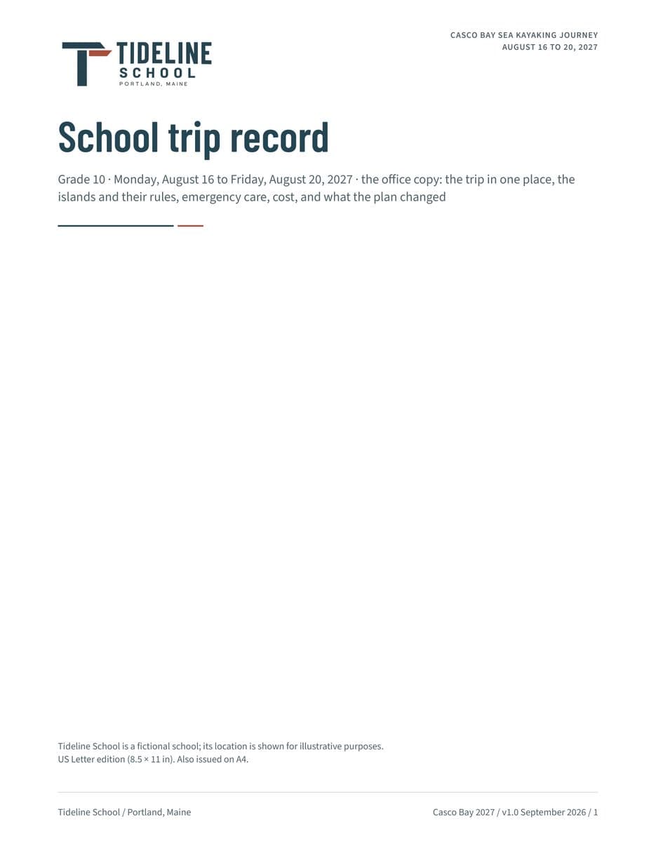
School Trip Record
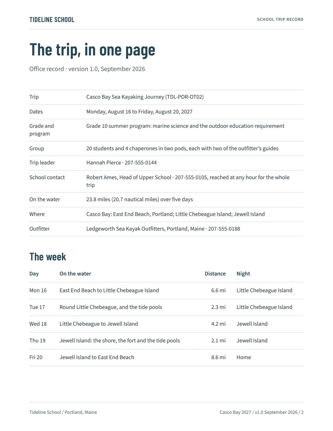
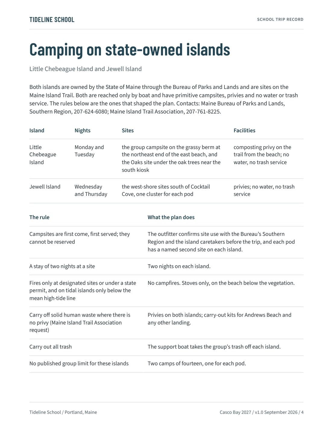
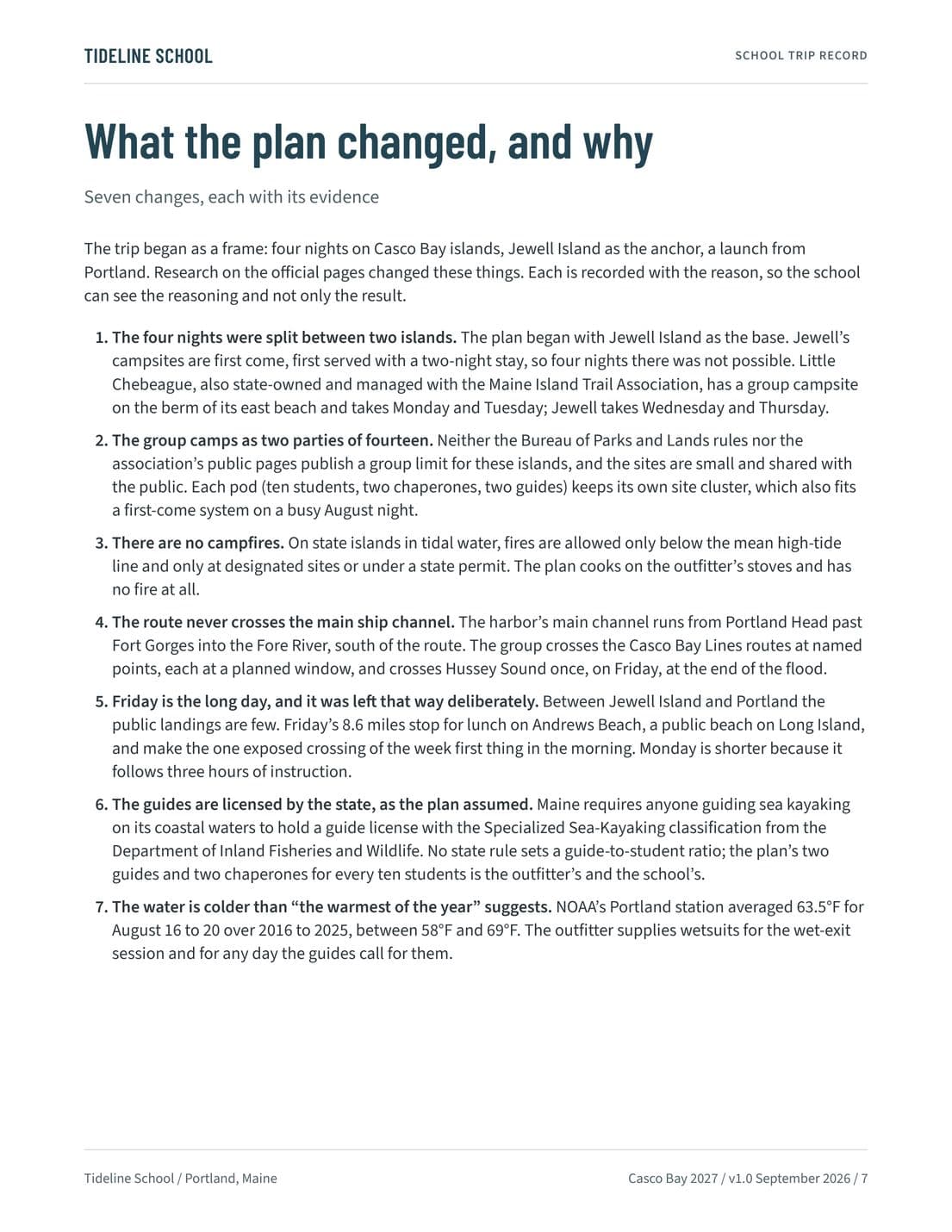
The office copy: the trip in one place, the people who run it, the outfitter and the guides, the islands and their rules, emergency care, the cost, and what the research found and how the plan changed.
Look inside
School
Trip Risk Working File
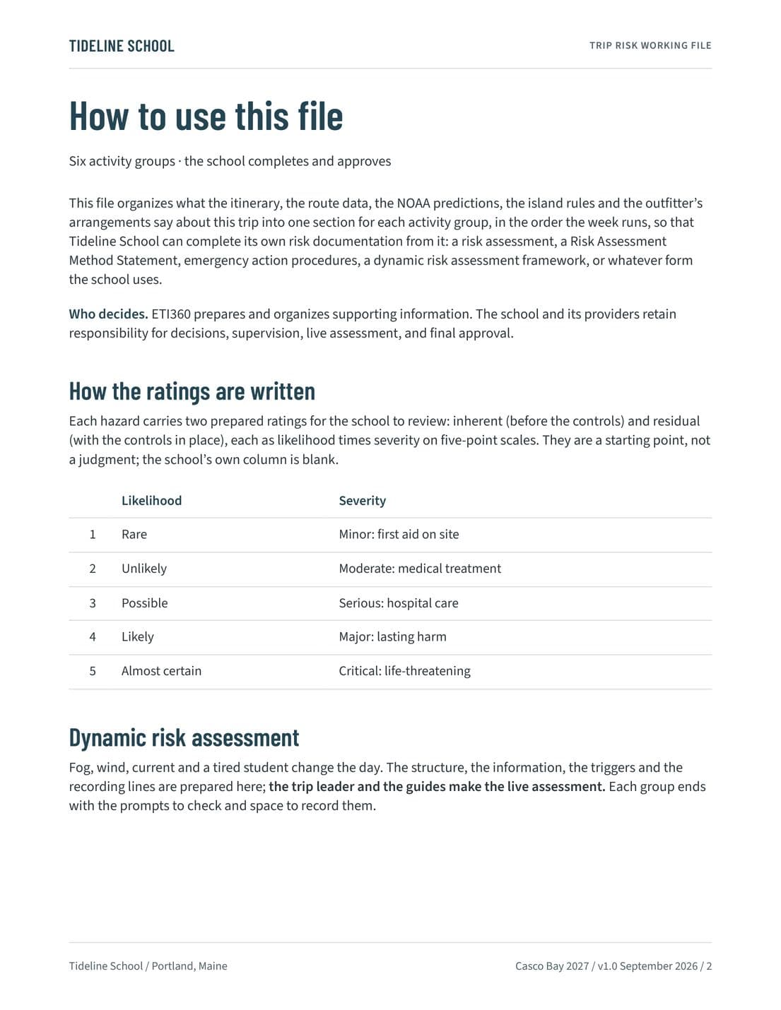
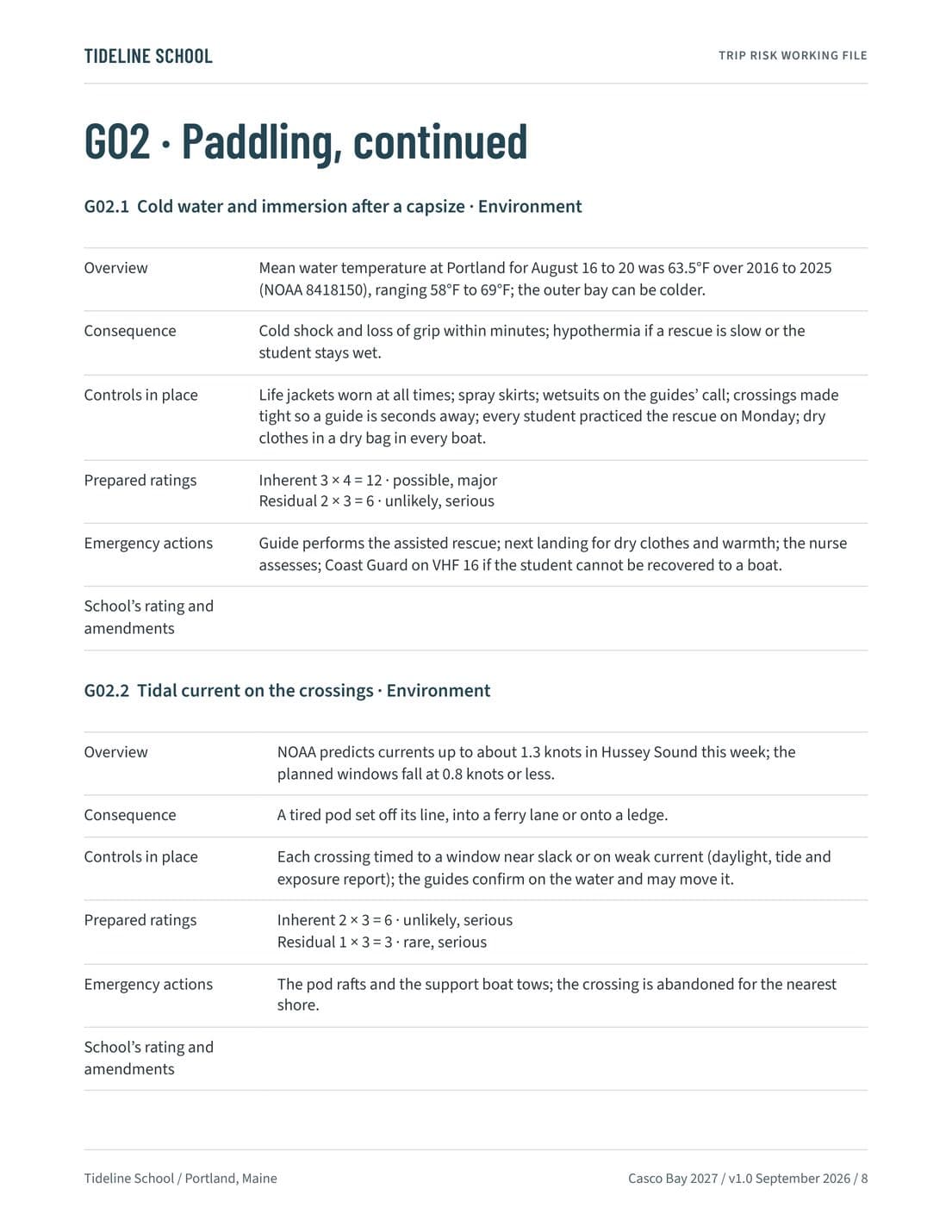
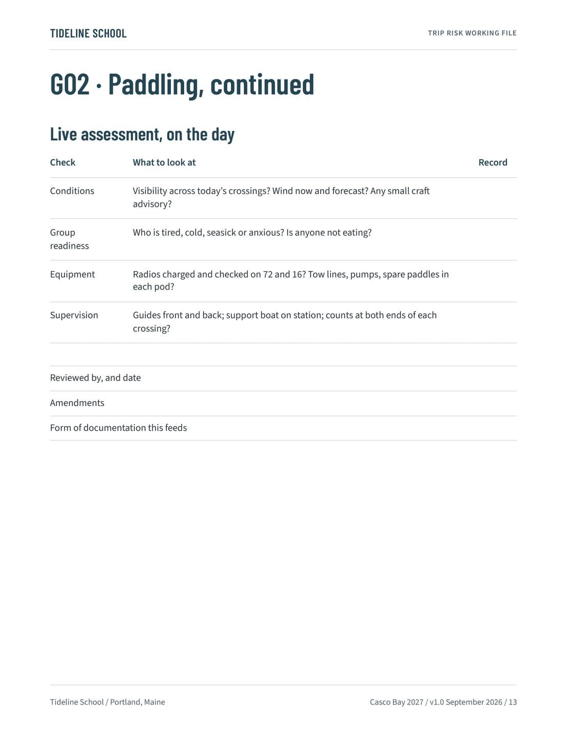
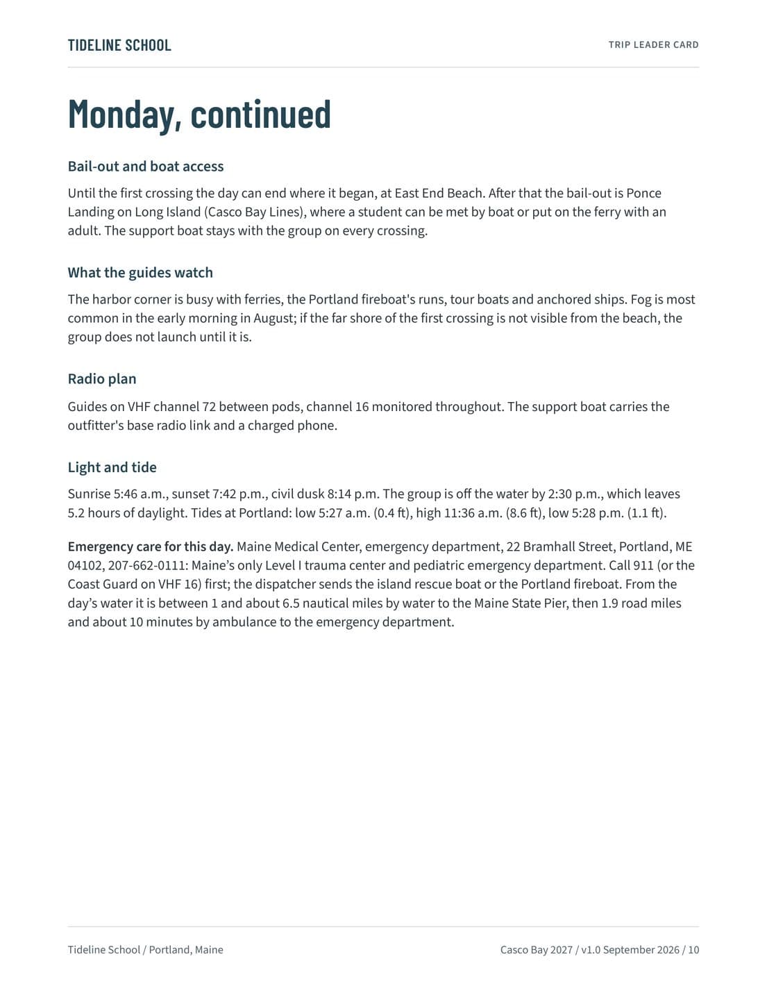
Hazards, controls, and emergency actions organized one section per activity group, from the coach and the beach to the crossings, the island camps, the shore study, and weather holds, with the live-assessment prompts for the trip leader and the guides. The school reviews it, completes it, amends it, and approves it.
Look inside
Telling families
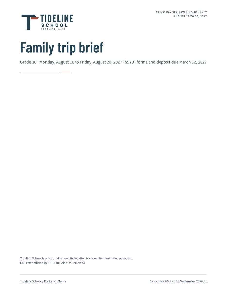
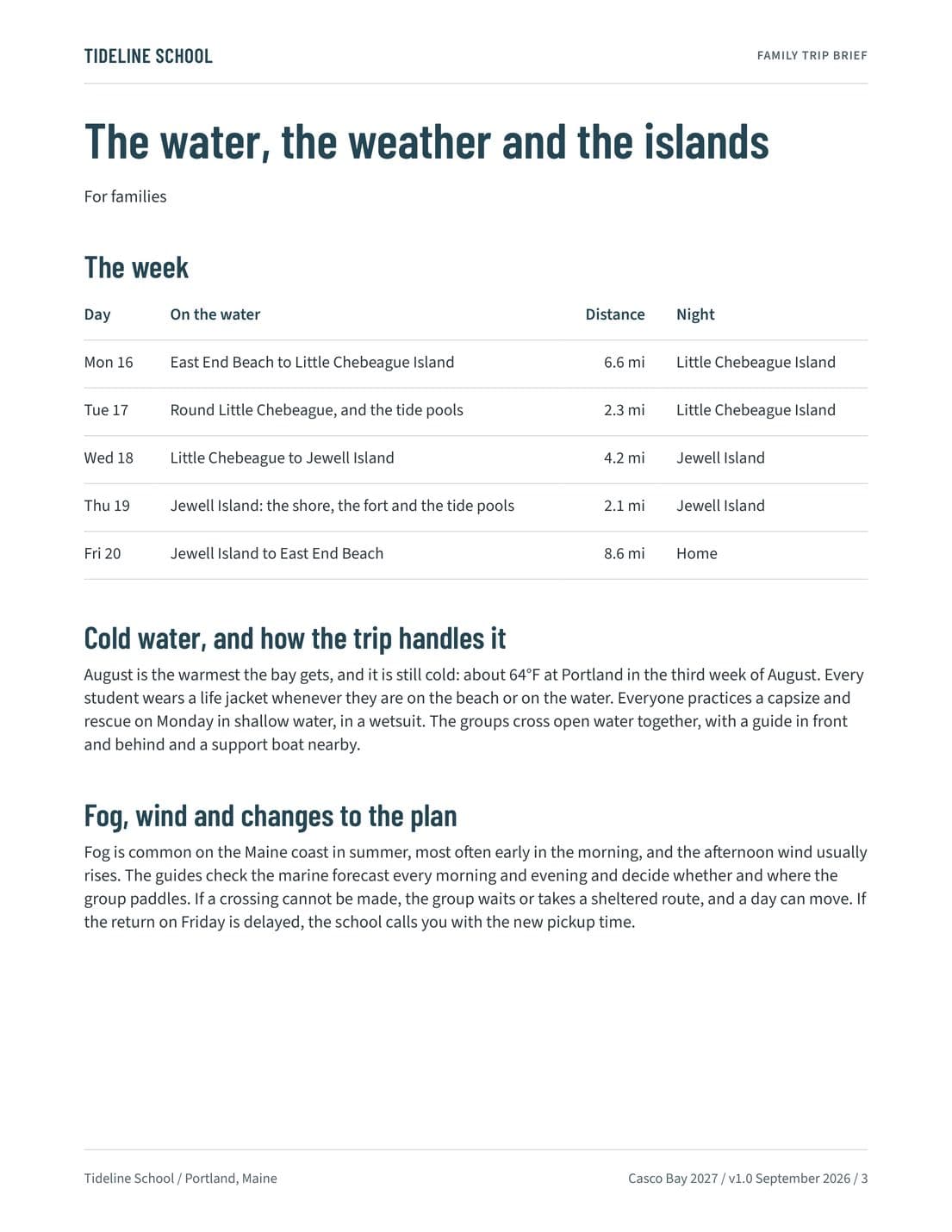
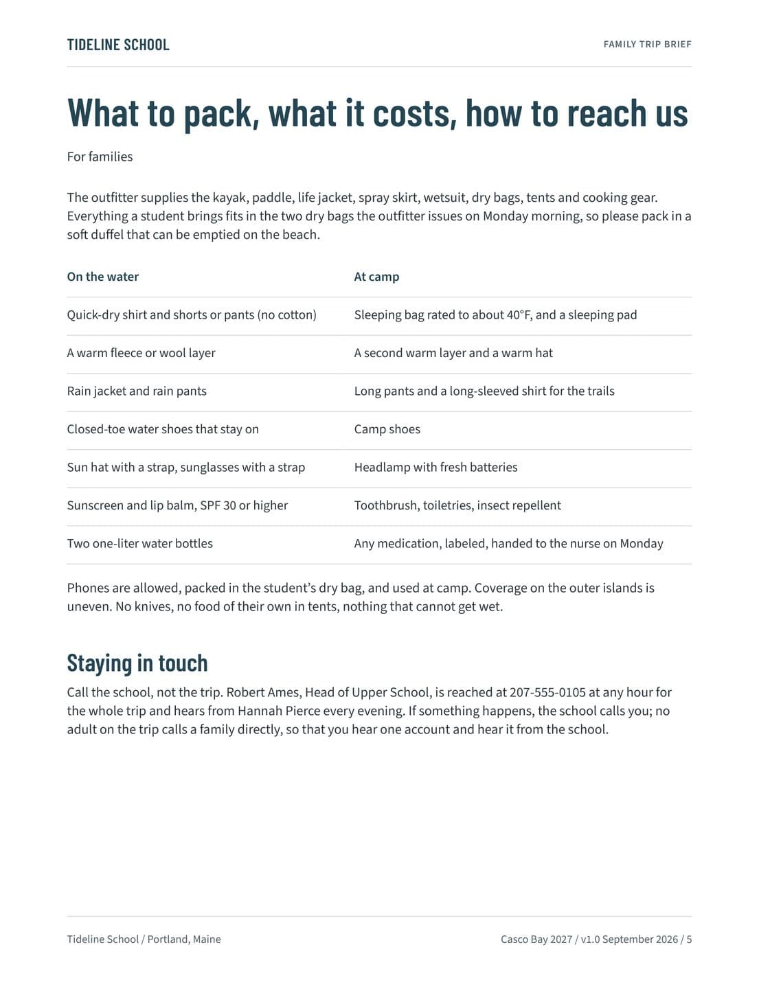
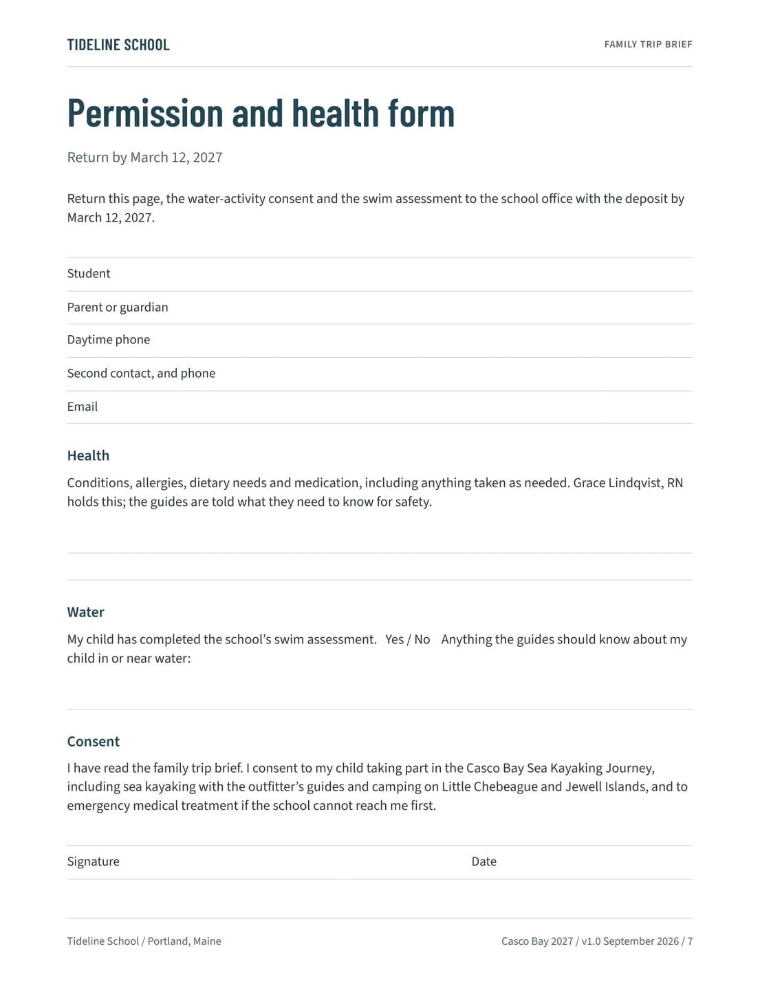
What the week asks, the cold water and the weather, camping on the islands, what to pack, and the permission and health form that comes back with the deposit.
Families
Family Trip Brief
What the week is and what the paddling asks, the cold water and the weather, camping on the islands, what to pack and what it costs, how families hear from the school, and the permission and health form that returns with the deposit.
Look inside
Preparing the leader and chaperones
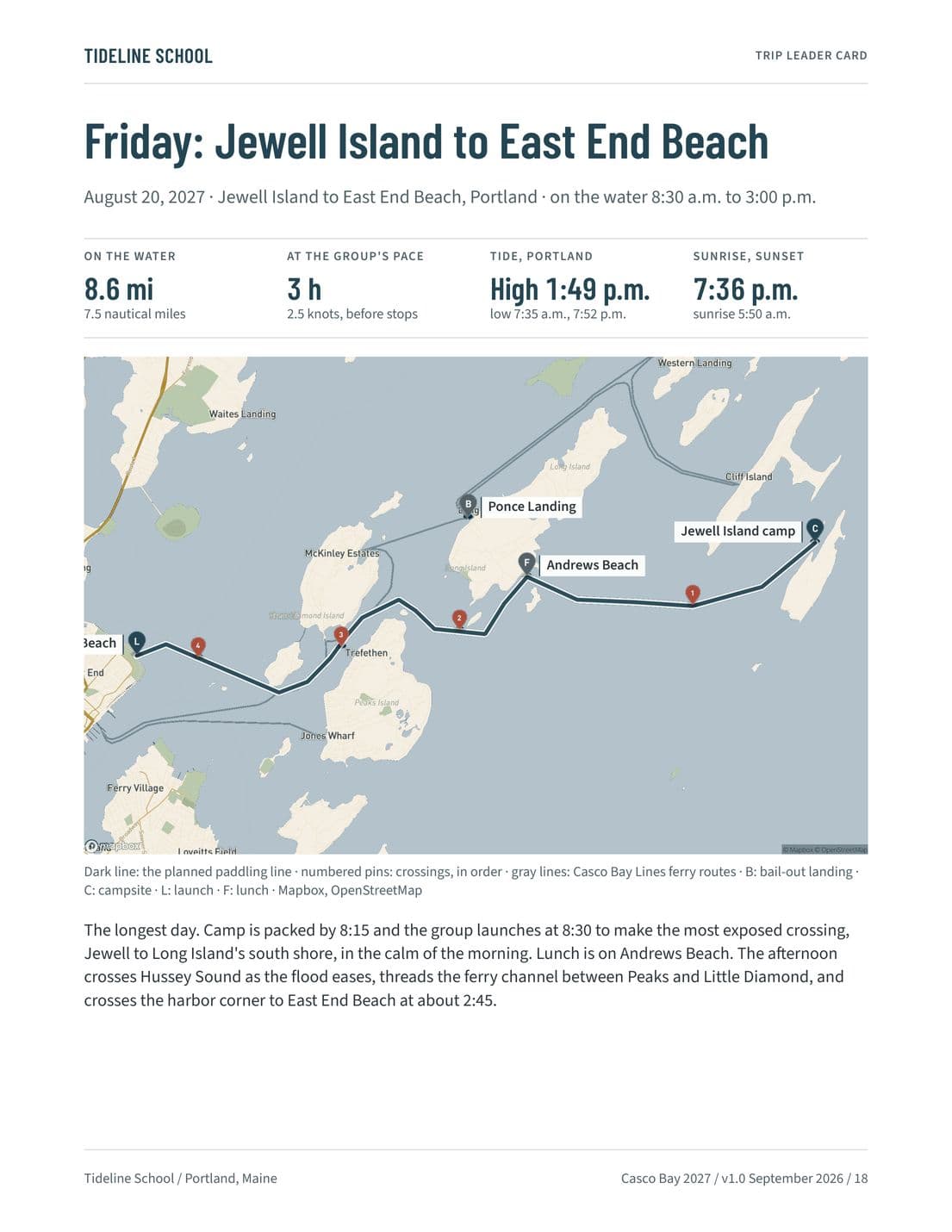
A Route Intelligence page for each paddling day, the crossing windows, the weather holds, the procedures, and the travel time by water and by road to the emergency department.
Trip leader
Trip Leader Card
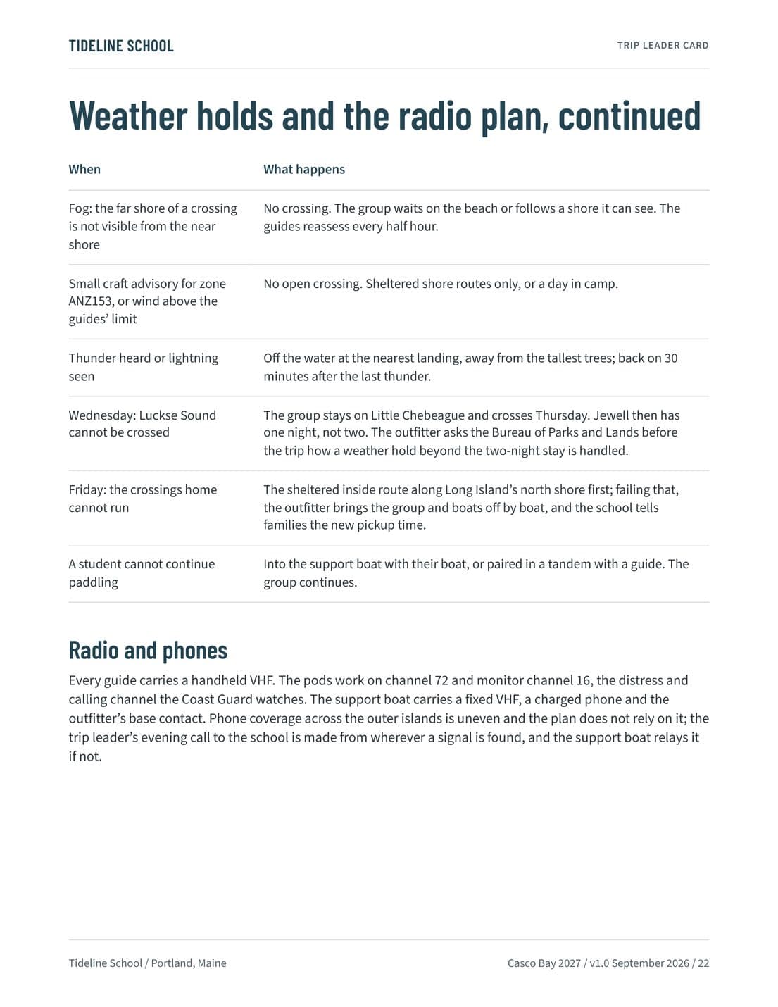
Pods, contacts, and standards on the water, the week in outline, a Route Intelligence page for each paddling day with its crossings and their windows, the weather holds and the radio plan, and the emergency plan.
Look inside
Chaperones
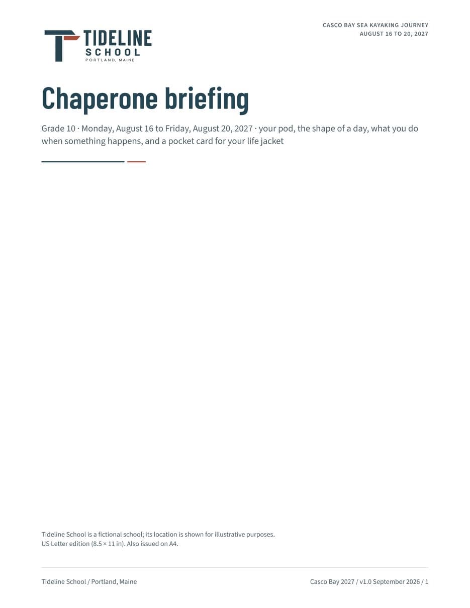
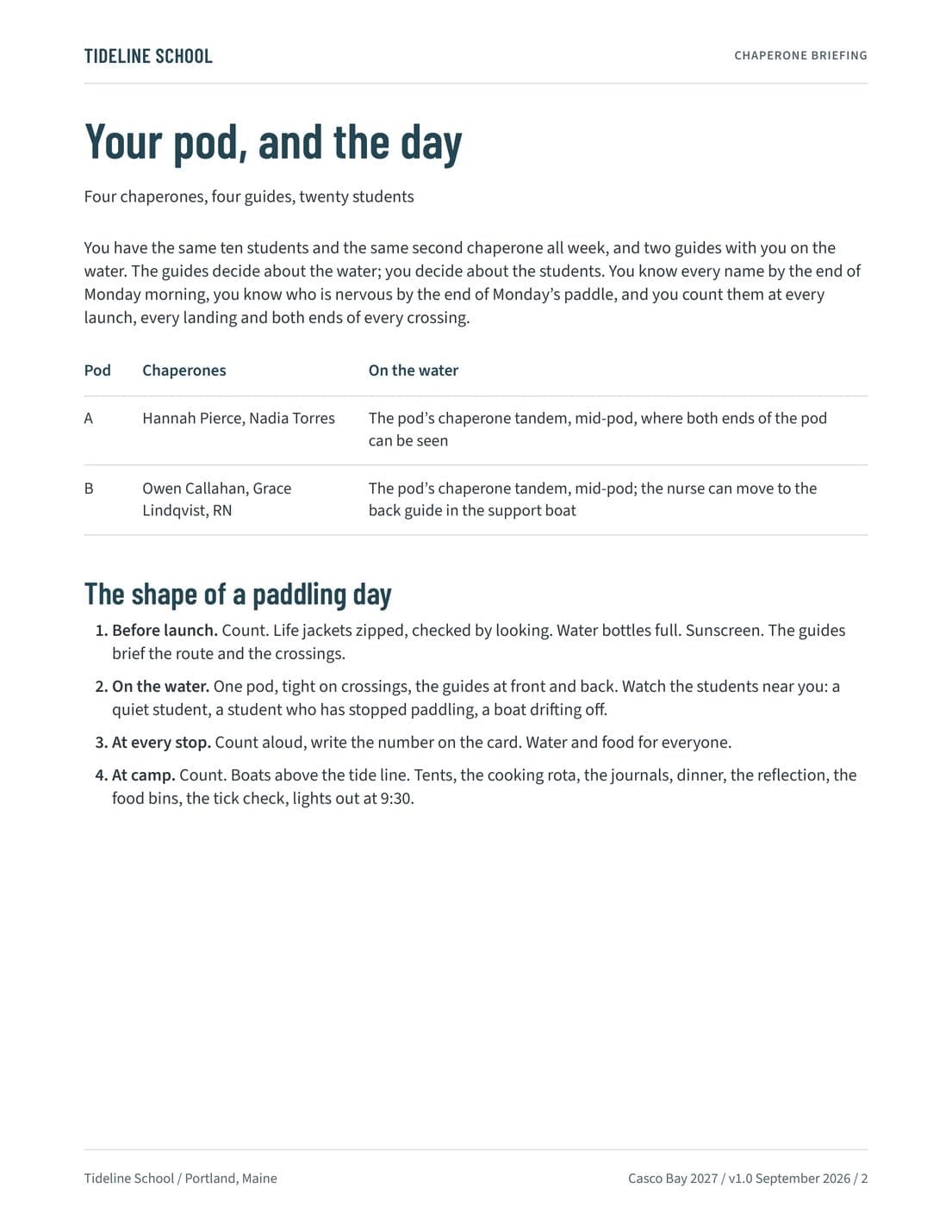
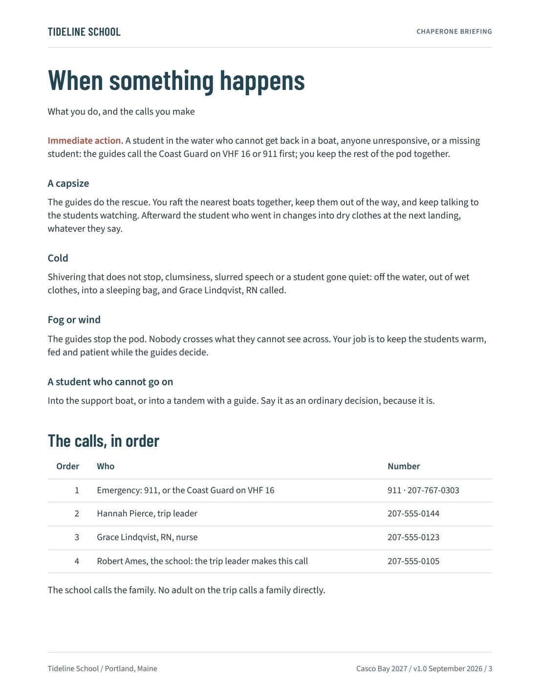
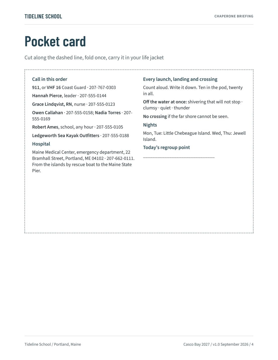
Chaperone Briefing and Pocket Card
For the chaperones, who keep the same pod of students all week: the pod and the shape of a paddling day, what to do when something happens, the calls in order, and a pocket card to carry in a life jacket.
Look inside
Timing each paddling day
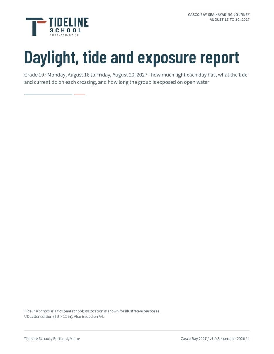
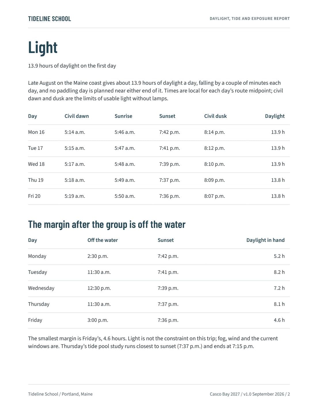
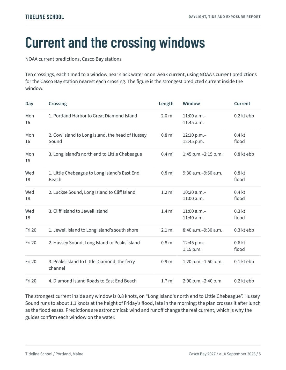
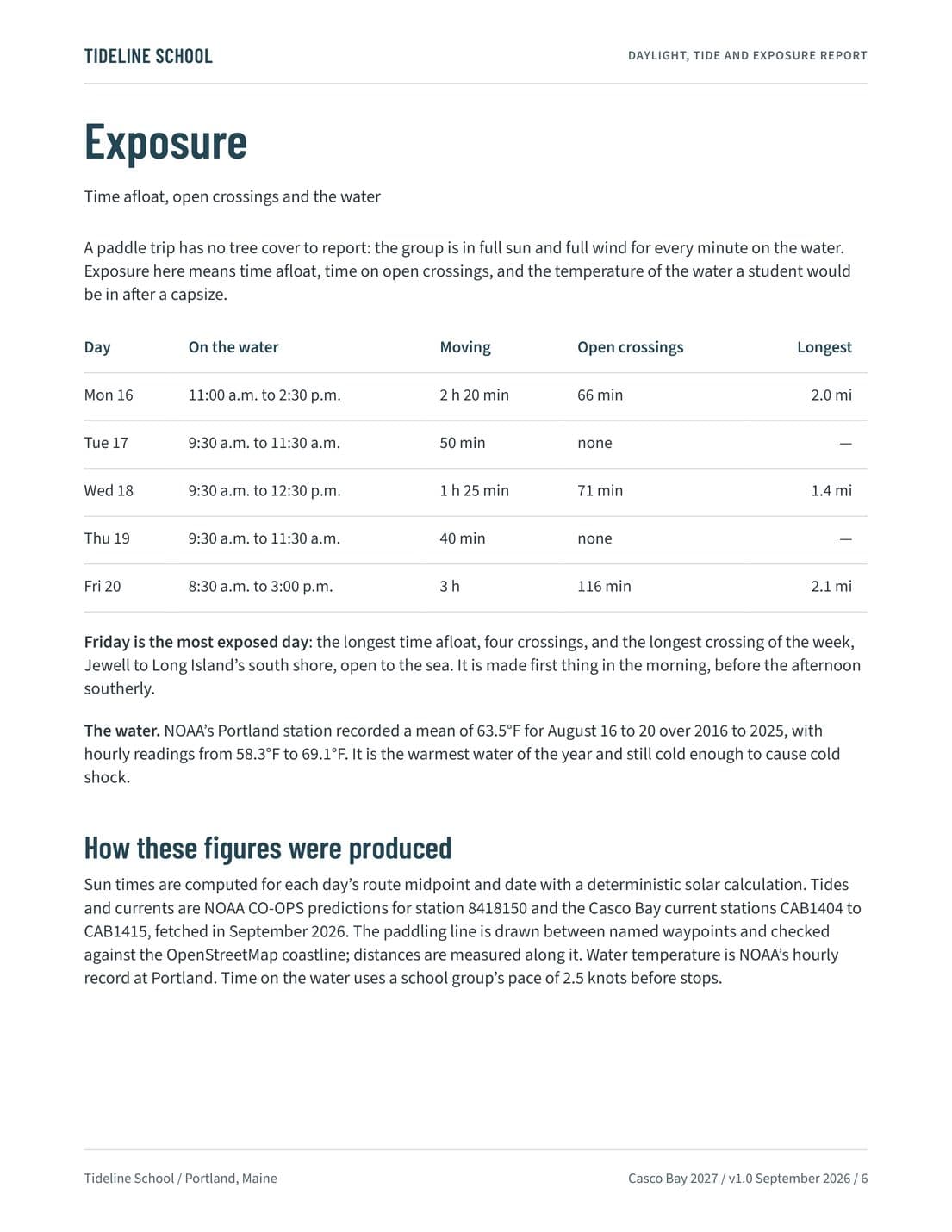
How much light each day has, what the tide and current do on each crossing, and how long the group is exposed on open water.
Trip leader
Daylight, Tide and Exposure Report
How much light each paddling day has, what the tide and current do on each crossing, and how long the group is exposed on open water, from NOAA's predictions for these dates. On this trip fog, wind, and the current windows, not the light, set the limits.
Look inside
Connecting the trip to learning
The unit A Bay We Can Measure: the water and weather measured every day, two shore transects, and the report students write when they are home.
Teachers
Educational Journey
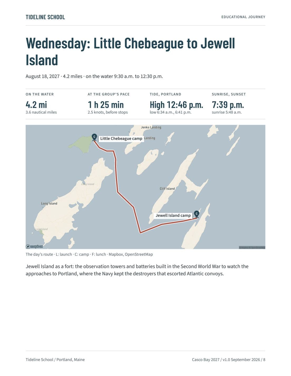
The unit A Bay We Can Measure, what each paddling day teaches, a page for each day with its route, map, and tide, the two shore transects, the daily journal, and the report students write after the trip.
Look inside
Students
Student Journey Guide
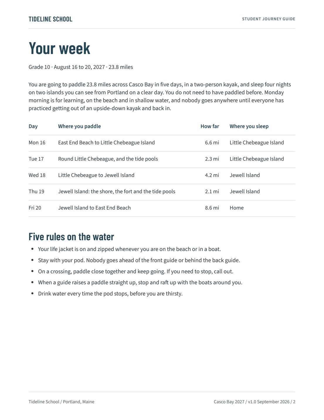
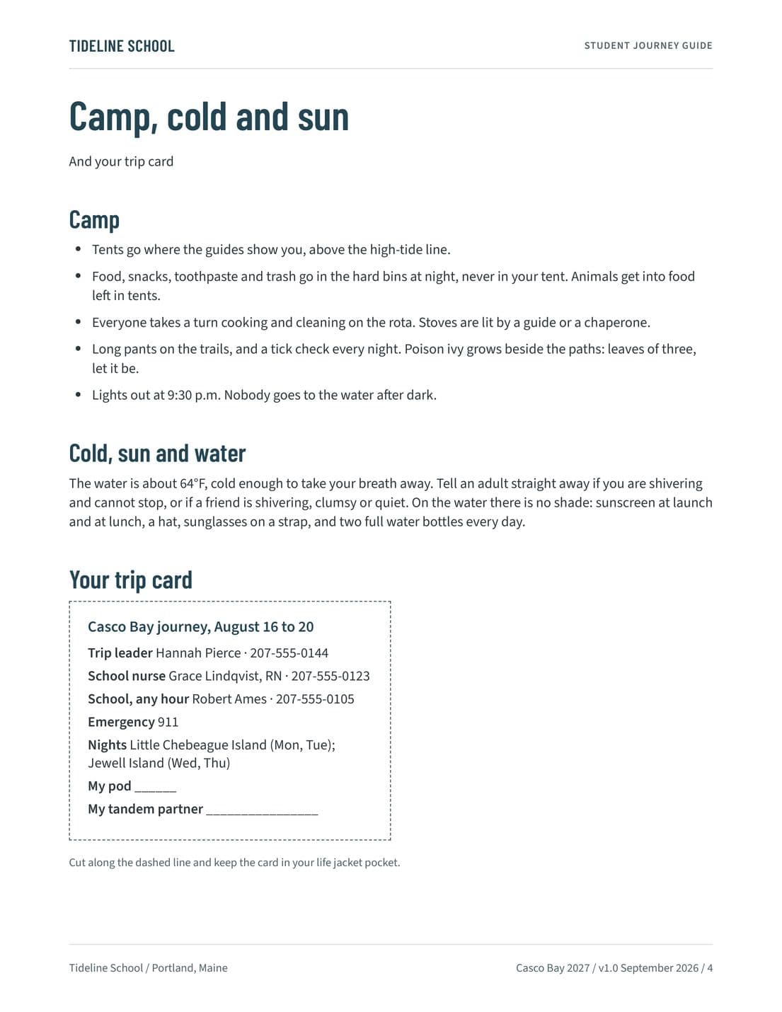
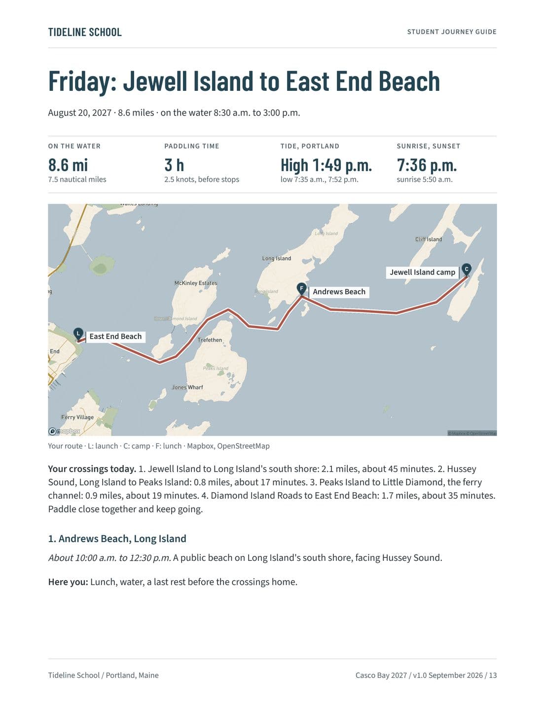
The guide students carry all week in a dry bag: the week and the rules on the water, camp, cold and sun, a page for each day with its map, crossings, and stops, the questions for the journal, and a trip card to cut out and carry.
Look inside
Improving next year's trip
What students, parents, the chaperones, and the outfitter said, set out for the school's review.
After the trip
Post-Trip Feedback Report
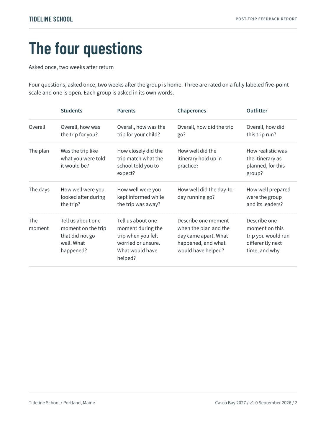
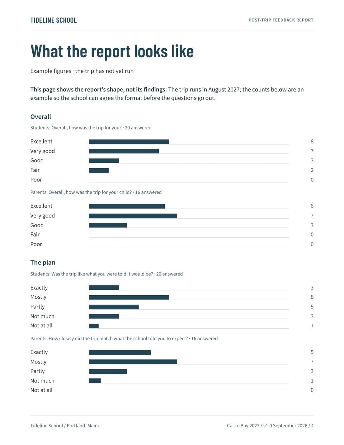
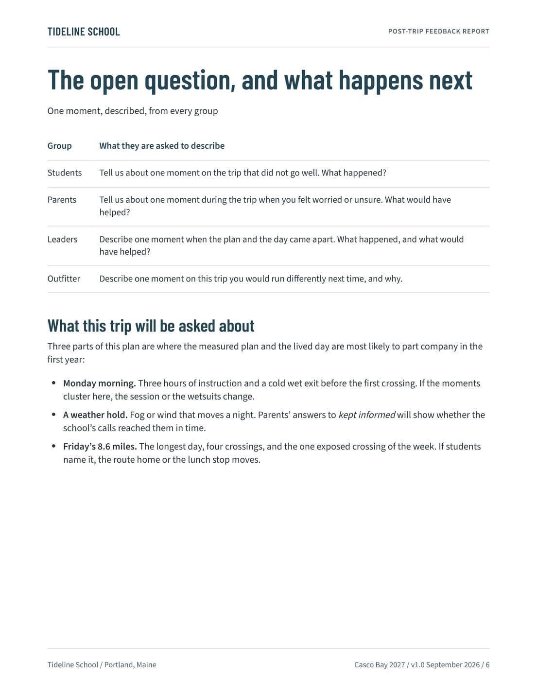
Four questions asked of students, parents, the chaperones, and the outfitter two weeks after the trip, how the answers are read, and the parts of this plan most likely to come up, named in advance.
Look inside
Who decides
The school and any provider it works with retain responsibility for decisions, supervision, live assessments, and final approval.
The Trip Risk Working File is written for the school to review, complete, and approve. Its ratings are a starting point, its review lines are for the school’s own controls, and the trip leader makes the live assessment on the day.
Other worked trips
 City · Washington, DCWashington, DCHorizon Ridge School of ClevelandSee the documents →
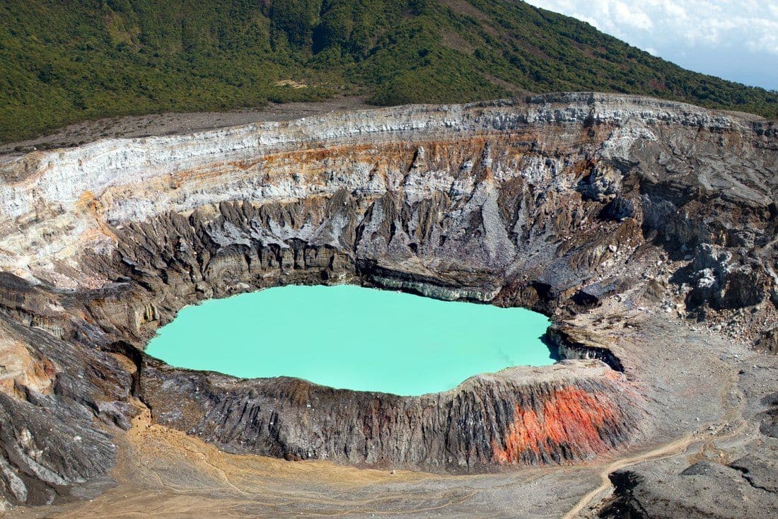 Service · Central AmericaCosta RicaHorizon Ridge School of ClevelandSee the documents →
 Culture · EuropeItalyHorizon Ridge School of ClevelandSee the documents →
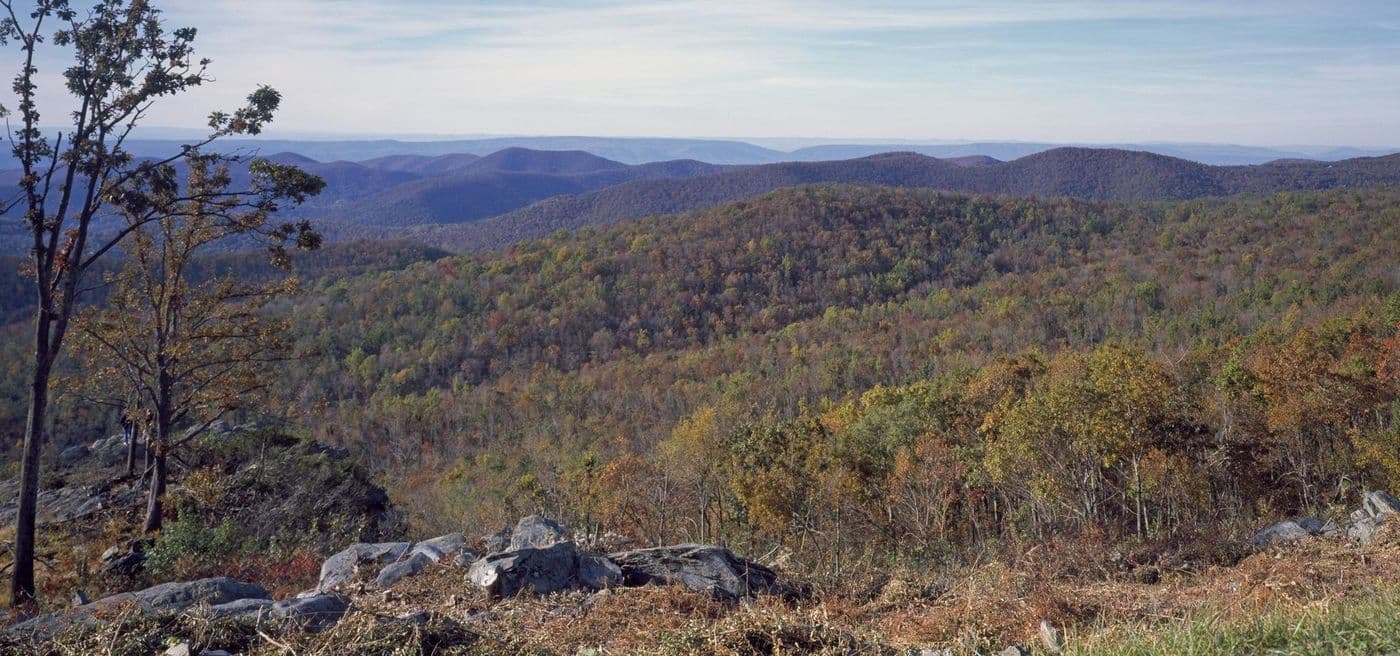 Outdoor · VirginiaShenandoah National ParkHorizon Ridge School of PhiladelphiaSee the documents →
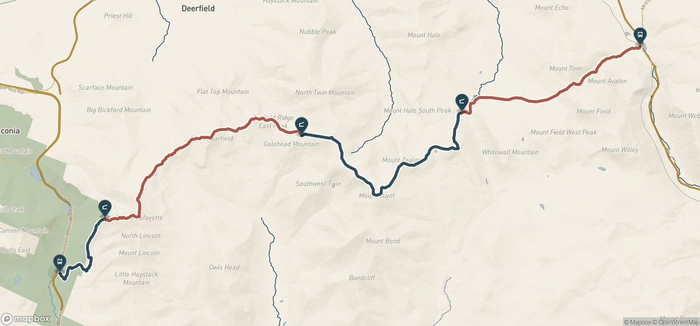 Outdoor · New HampshireWhite MountainsTideline SchoolSee the documents →The Trip Package →
Horizon Ridge School of Cleveland is a fictional school; its location is shown for illustrative purposes.
Horizon Ridge School of Philadelphia is a fictional school; its location is shown for illustrative purposes.
Tideline School is a fictional school; its location is shown for illustrative purposes.